


- Activity
- Oita
Tadewara Marshland
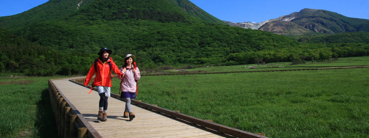
The Tadewara Marshland is a basin-shaped wetland created through volcanic activity from around 15,000 years ago (during the last ice age) to 6,300 years ago (Holocene epoch).

A transitional moor is formed by the marsh sediment and pebbles of the Shiramizu River that runs through the marshland. It is wet from rain and water that wells up in the nearby area. There is a great deal of peat moss in varieties unique to marshlands. There are also wood paths through the reed Phragmites australis. Experience the wonderful natural world of the Tadewara Marshland with the new route, including the wood paths.

The Tadewara Marshland, one of Japan's largest transitional moors, has an area of approximately 38 hectares at an elevation of roughly 1,000 meters. Surrounded by the Kuju Mountain Range, it creates an ecosystem reflecting varied geographical features and terrain.

Together with the marshland's natural environment, which is cold with a great deal of rainfall, it is maintained in its current form by people through methods such as field burning. The Tadewara Marshland, maintained by nature and human actions, was designated as a Wetland of International Importance in 2005.
Location
| Name | Tadewara Marshland |
|---|---|
| Web Sites | (In Japanese) http://kyushu.env.go.jp/nature/tyojyabaru/tadewara/ |
| Address | 225-33 Tano, Kokonoe-machi, Kusu-gun, Oita |
| Access | Public transportation JR Kyudai Main Line Bungo-Nakamura Station to Kokonoe-machi Community Bus approx. 50 min. to Right past the Kuju Tozan-guchi bus stop Car From Kokonoe IC Via Kyusuikei (Prefectural Route 40): Approx. 50 min. Via Shikisai Road: Approx. 45 min. From Yufuin IC Via Yamanami Highway (Prefectural Route 11): Approx. 40 min. |
| Inquiries | TEL:0973-79-2154 |
